Dry Weekend Ahead for Halloweekend
KPTV meteorologists predict a mostly dry Saturday night for trick-or-treaters, with temperatures near 50 degrees.
By Julian Kobayashi ·
KPTV meteorologists forecast a transition from wet conditions to dry skies in the Pacific Northwest over the next five days. The weather team reports that widespread rain and clouds observed on Wednesday morning have begun to taper off. Current conditions show a mix of sun and clouds, with scattered downpours possible. There is a slim chance that solar energy between passing showers could trigger a few thunderstorms, though the odds remain low.
Temperatures this afternoon are expected to reach the mid to upper 50s. As evening progresses, lingering showers will persist inland, while coastal areas face higher probabilities of rain. By the end of the evening, skies will turn partly cloudy and temperatures will drop to the lower 40s. An area of low pressure remains positioned just northwest of the region through Thursday, wrapping moisture around the system in the form of additional showers.
Rain coverage on Thursday will be less extensive than earlier this week. Most locations east of Interstate 5, particularly those in the Cascades, may stay completely dry. Coastal regions, being closer to the center of the low-pressure system, will experience better rain chances. Thursday afternoon highs will top out in the mid 50s before cooling to the lower 40s overnight. The low-pressure system will move southward and closer to the region on Friday, bringing renewed shower chances through the end of the work week.
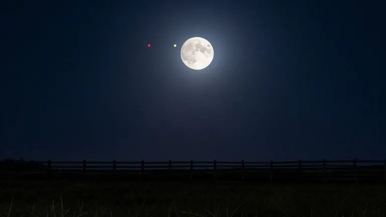
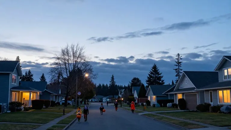
Forecast models indicate that Halloween will remain mostly dry on Saturday and Saturday night. While the nearby low pressure prevents meteorologists from completely ruling out a stray shower, the latest data supports a largely dry evening. Trick-or-treating hours will see temperatures ranging from the mid 40s to 50. The weather team suggests residents keep an extra layer handy for the cool conditions.
An upper-level ridge is expected to develop from Sunday through Wednesday of next week, keeping the region on the drier and milder side for the start of November. Afternoon highs will warm over the weekend to the upper 50s. By Monday, temperatures will climb into the low 60s under mainly sunny skies. This dry pattern is not expected to last long, as models hint at more wet weather arriving late next week. KPTV will continue to monitor these trends for updates.
Source: KPTV