Tesla builds own maps for FSD
The automaker is developing a new mapping system to correct frequent navigation errors in its self-driving software.
By Amy Swan ·
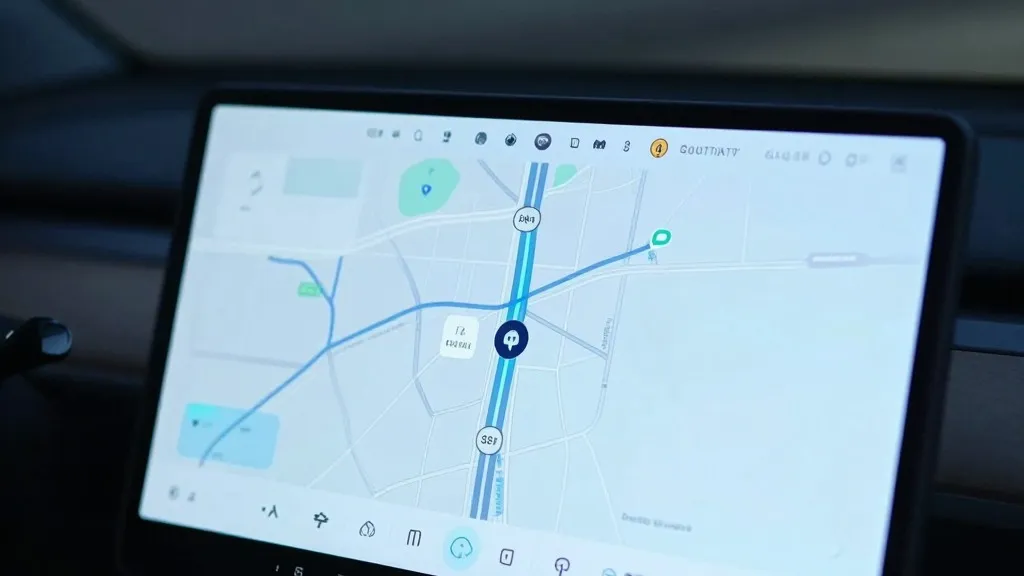
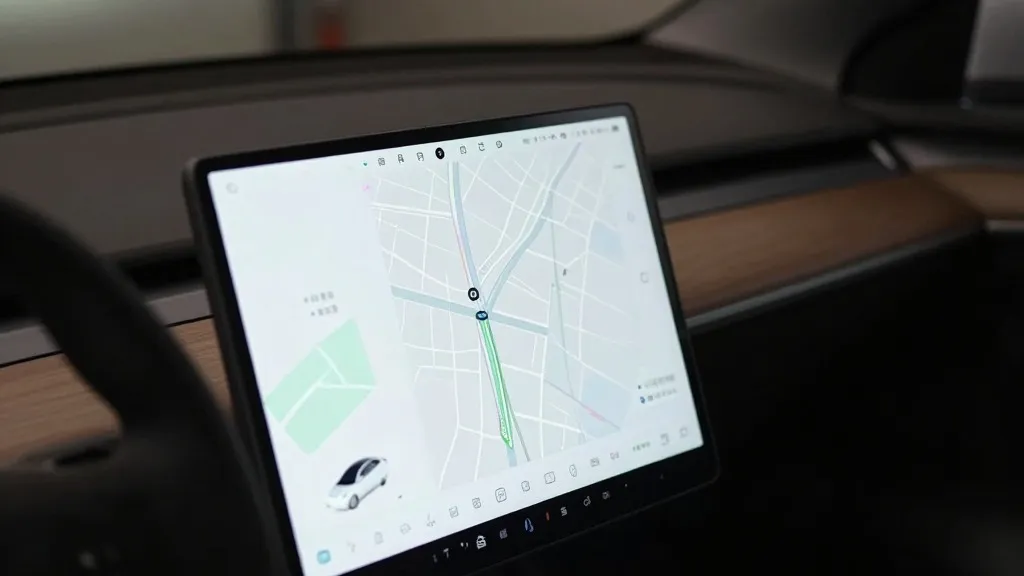
Tesla is developing its own mapping system to address persistent flaws in its Full Self-Driving software. The company’s VP of AI, Ashok Elluswamy, detailed this effort during the Q3 2026 earnings call. He stated that Tesla will no longer rely on external map providers. Instead, the new architecture will use data collected from the existing fleet. This system aims to fix common issues like reading speed limits, finding parking, and selecting routes. It will also learn individual driver preferences and respond to voice commands.
This marks a significant change in strategy. For years, Tesla’s leadership argued that self-driving systems relying on maps were fragile. They promoted a vision-only approach using cameras and AI. Now, the company is using its fleet to map roads in a way similar to competitors. The goal is to provide information that the vision system cannot reliably determine on its own. This shift comes after a shareholder asked why Tesla depends on third-party maps. The investor noted that mapping remains a major problem for the software.
The new technology will roll out in stages. It will start with the beginning and end of trips in the next software update. Over the following months, it will take over navigation, parking, and destination handling. This approach allows Tesla to gradually integrate the new map layer without a full system overhaul. The data comes from millions of cars driving daily. This collective learning process creates a more detailed and accurate map than static sources can provide.
Tesla’s stance on maps has shifted over the last decade. In 2015, the company said it was building high-precision maps using customer car data. By 2019, CEO Elon Musk called high-precision lane maps a mistake. He described them as brittle and unnecessary. He dismissed lidar as a fool’s errand in the same presentation. The message was that Tesla could solve driving with cameras alone, anywhere. Now, the company is building a map layer to correct errors in its vision system.
The specific problems being addressed highlight the limitations of pure vision. Speed limits, parking, and routes require a deep understanding of the environment. FSD often fails at these tasks. Recent tests in Brussels showed the system speeding in most 30 km/h zones. In the US, regulators are weighing an investigation into Robotaxis speeding through school zones. If a vision system cannot reliably read a simple speed limit sign, the need for a map becomes clear. This suggests that vision alone was not enough to handle all driving scenarios.
This strategy brings Tesla closer to competitors like Waymo. Waymo uses sensor-equipped vehicles to map cities before launching service. Tesla is now using a similar method, with its fleet collecting data to build a shared map. The main difference is the use of lidar. Tesla’s Robotaxi service already operates in geofenced areas. Building its own maps fits this operational model. While not a high-definition map yet, the system will likely become more detailed over time. This approach allows Tesla to maintain control over its navigation data.
The move is practical for a self-driving program. Every serious autonomous vehicle project uses maps. A map built from a massive fleet could be a strong advantage. If it fixes speed limit errors, it improves safety for everyone on the road. It also aligns with the reality of how Tesla’s Robotaxi service operates. The company is now solving the same problems as its rivals, using its own unique data advantage.
Source: Electrek